

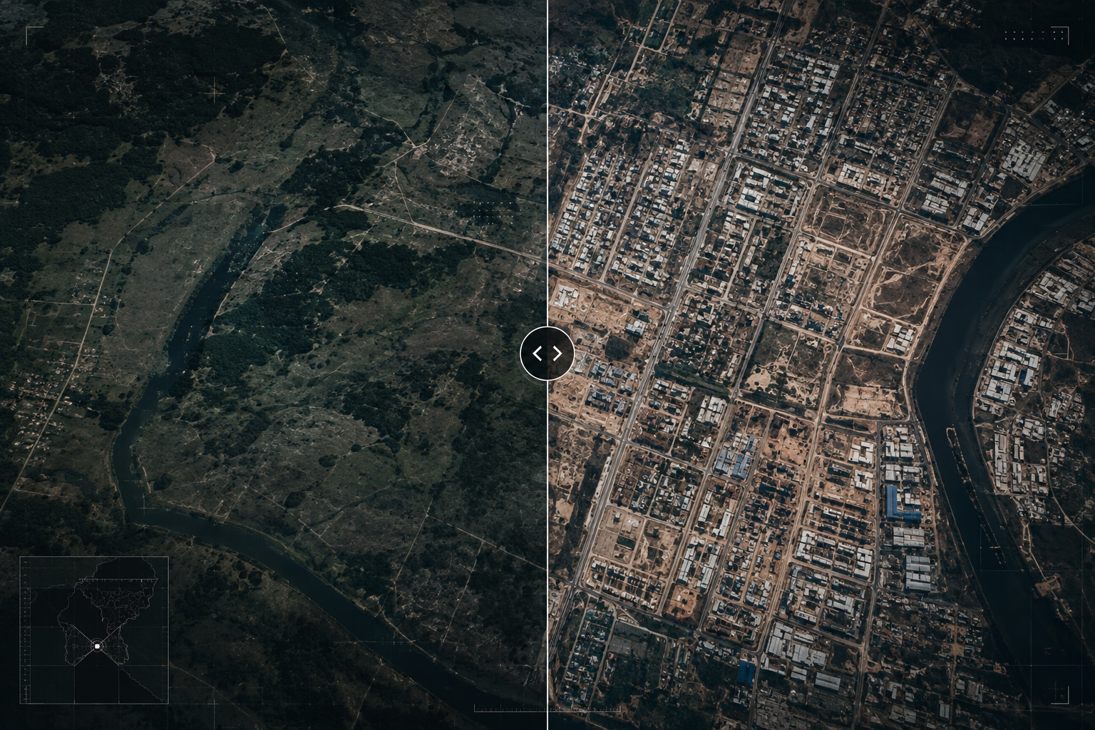
Why Historical Satellite Imagery Is Becoming Critical for Land Change Detection and Legal Proof
Posted on August 24, 2026
From Historical Evidence to Continuous Monitoring
What if land changes could be identified before they turn into disputes?
Historical satellite imagery can help reconstruct what happened in the past, but its potential extends further. When satellite observations are collected over time and analysed consistently, they can become a way to continuously understand how land is changing.
This is where WatchMyPlots comes in.
WatchMyPlots explores a proactive approach to land monitoring, where registered properties can be periodically observed through satellite imagery. Instead of waiting for an encroachment, unauthorized construction or other land-use change to become a dispute, recurring observations can help identify significant changes as they occur.
By comparing historical and current imagery, AI-assisted change detection can flag potential changes such as new construction, excavation, vegetation loss and road development. These observations can then support further investigation and verification on the ground.
The idea is simple: don't just look at land when something goes wrong, keep track of how it changes over time.
WatchMyPlots represents a shift from retrospective land investigation to continuous land intelligence, creating an opportunity for governments, businesses and landowners to maintain a clearer, evolving picture of their properties and respond to changes earlier.

